- Screen Colours:
- Normal
- Black & Yellow
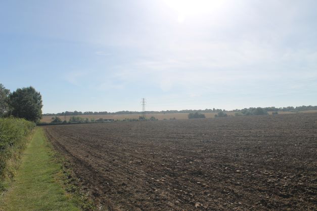 Combs Parkland Perimeter Circular Walk
This 1.2 mile walk takes about 25 minutes and follows the perimeter of the parkland to the eastern side of the village between Park Road and Tannery Road. The walk is along quiet roads and footpaths.
Walk details including map (pdf, print-friendly)
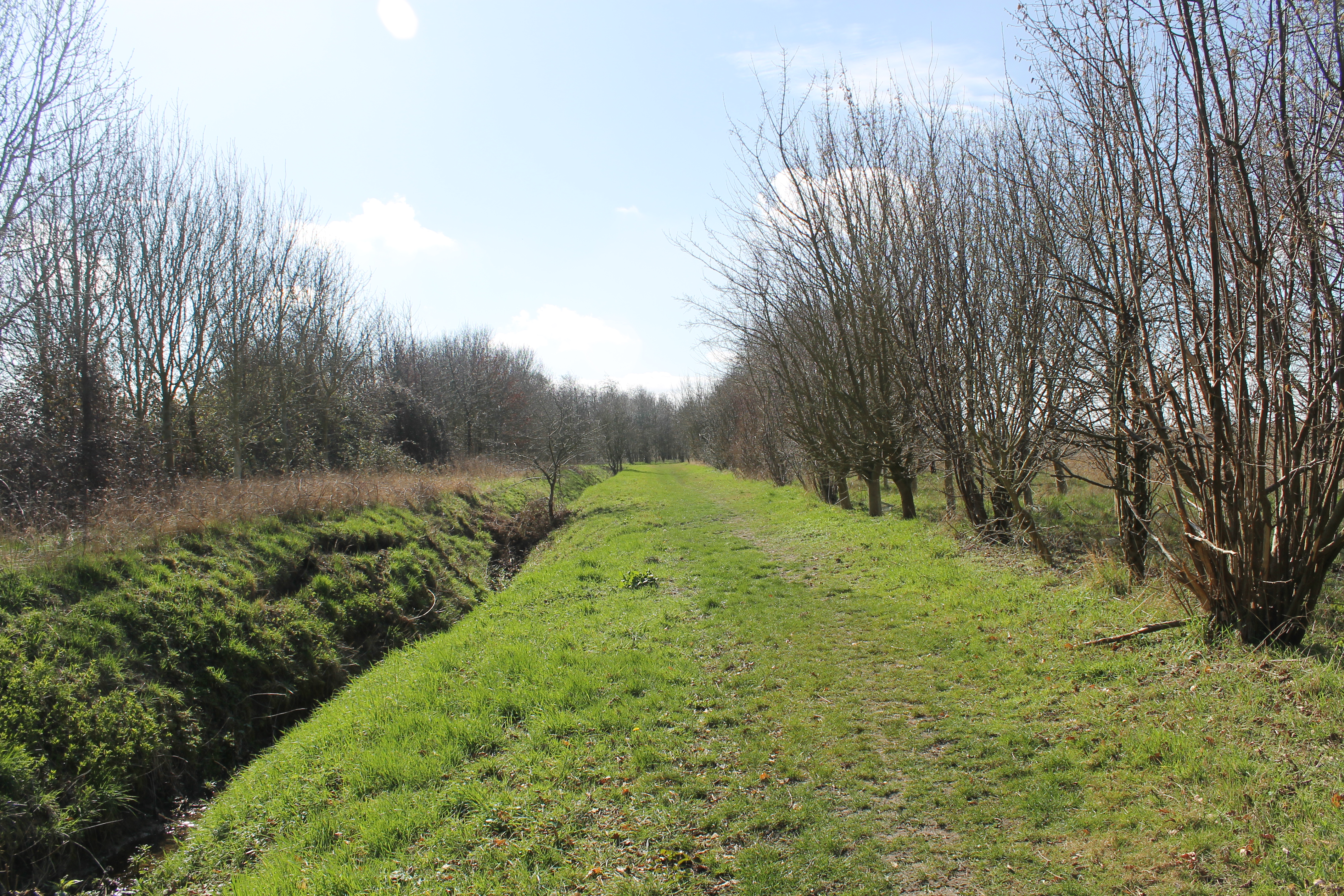 Combs Valley Views Circular Walk
This 2.6 mile walk takes about 50 minutes and has a few vantage points from which our rolling landscape can be viewed. The walk is mostly along quiet roads and footpaths.
Walk details including map (pdf, print-friendly)
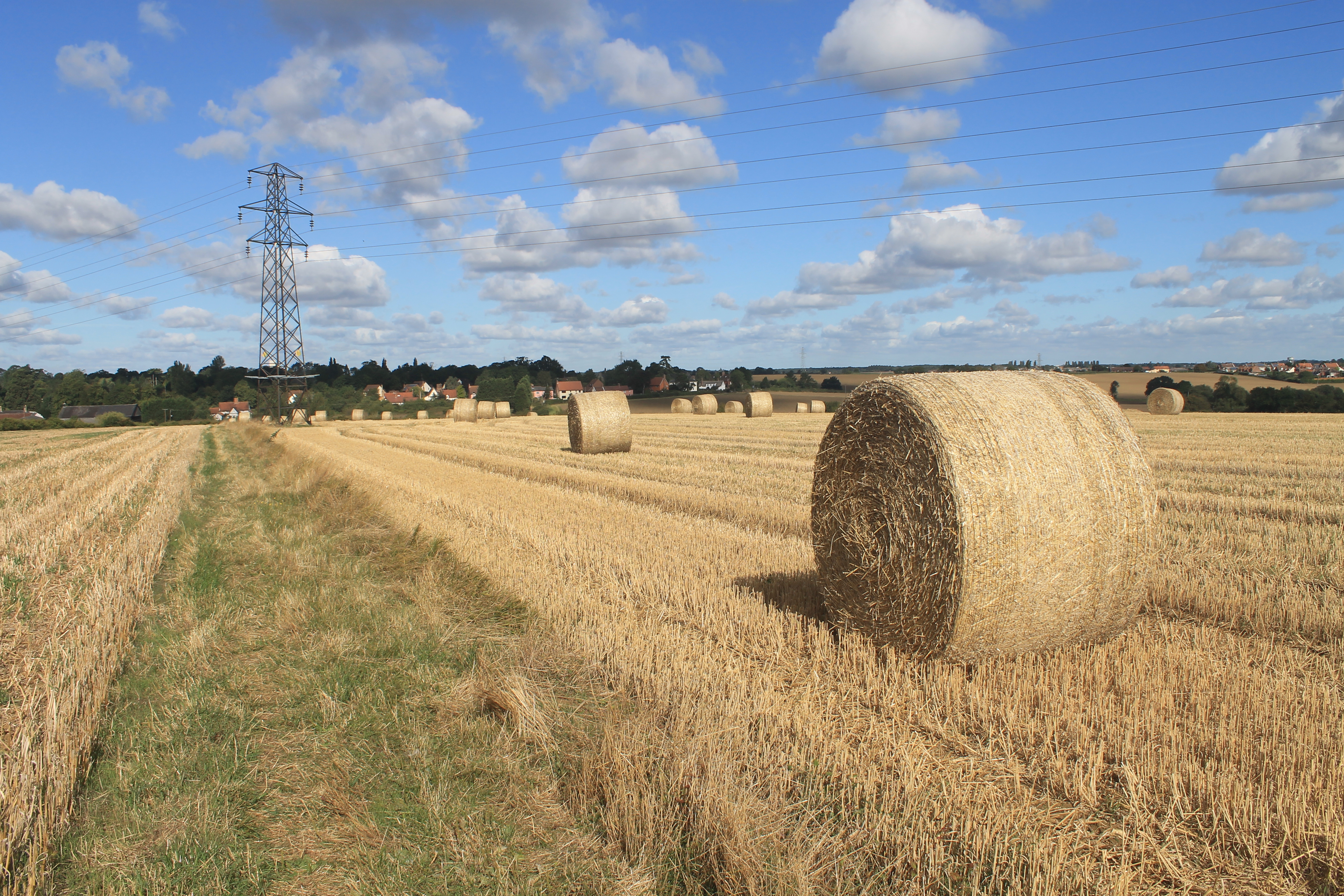 Lost Pubs of Combs
A 3.5 mile circular walk around Combs looking at the agriculture and architecture that has shaped the village.
There are no stiles and the walk is along generally quiet roads and field edges with one cross field transit that may be muddy after rain.
Walk details and map (print friendly pdf file)
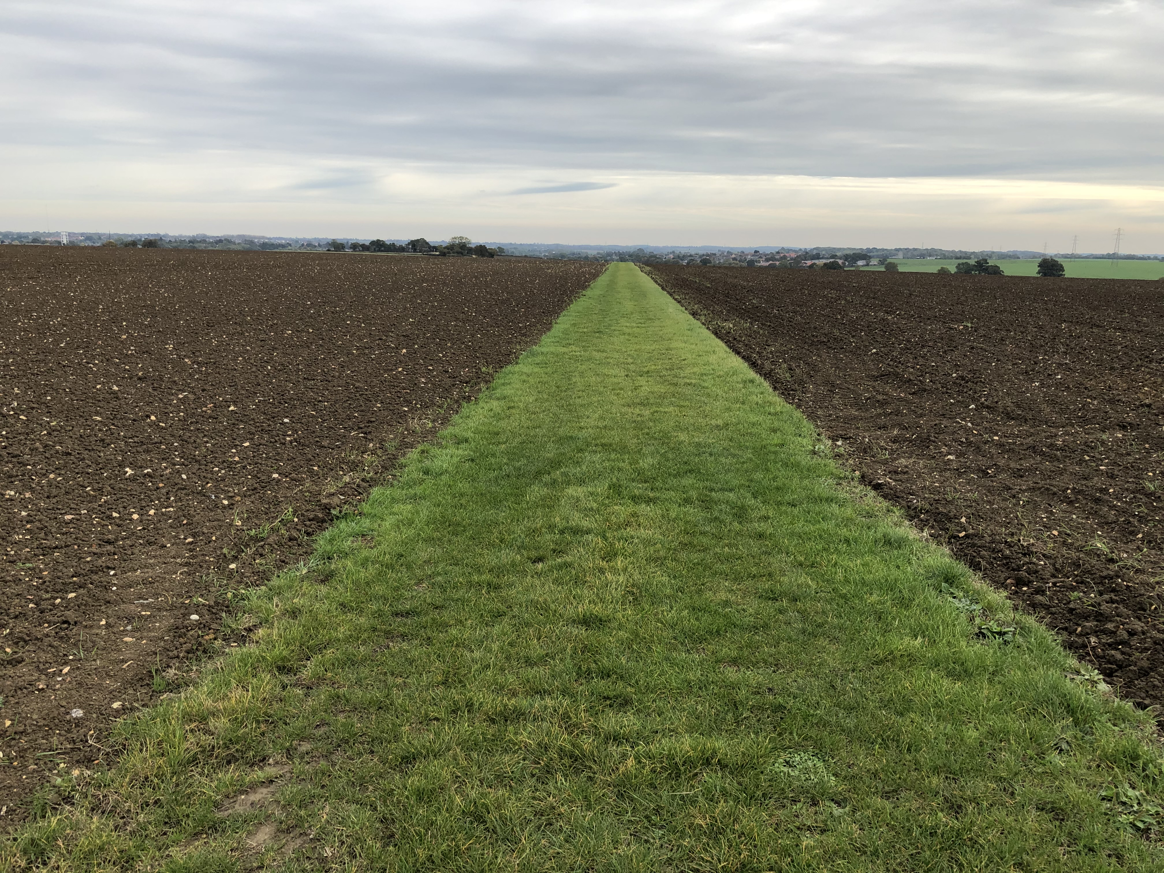 Combs Highs and Lows
A 4.75 mile circular walk (with shortcuts) around Combs passing by the sites of a couple of village mills and taking in some of the highest and lowest points of the village.
Walk details and map (print friendly pdf file)
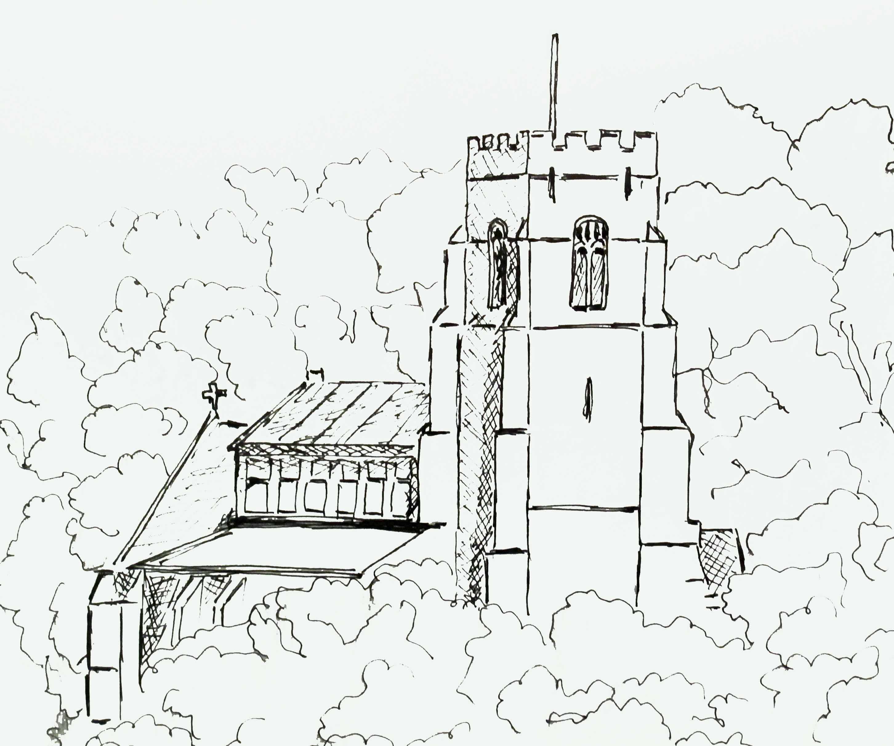 Combs Parish Boundary Walk
This 10 mile walk is an attempt to walk as close as possible to the parish boundary using roads and footpaths.
Walk details and map (print friendly pdf file)
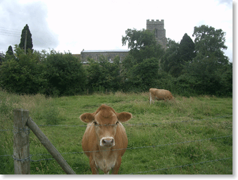 Charcoal and Churches Walk
This scenic 6 ½ mile walk starts at Stowmarket Railway Station and follows the Gipping Valley Path along the River Gipping. Combs Wood is an excellent example of an ancient woodland and is recorded in the Doomsday Book. Near the end of the walk pass by Badley Church and Badley Hall, with its atmosphere of past splendour.
The walk starts at Stowmarket Station, one of the finest Victorian stations in England but of course you can start at any point on the route and adapt it to suit the time you have available and your stamina!
Route map and more info (pdf)
Material courtesy of the Visit East Anglia website
www.visiteastofengland.com
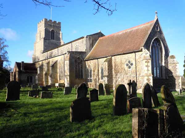

Treasured Suffolk - Combs and Badley
This 5-mile walk will take 3-4 hours and is described in the Discover Suffolk leaflet as "An enchanted world of lost halls and remote churches".
It's a mixture of on and off-road paths mainly using quiet lanes and public rights of way. There are some stiles but overall this is an easy walk through some undulacting landscape with good views and fascinating stories.
Download the walk leaflet here (pdf)
Material courtesy of Discover Suffolk
 Easy Going Trails
This downloadable pack contains a selection of 18 trails, each of which gets you close to nature in the very heart of
Suffolk's countryside. Each trail is very easy to follow on generally level ground. They range from just 1/3 mile to 8 miles. Explore magical Cavenham Heath, see rare birds at Lackford Lakes, visit Britain's first village at West Stow Country Park, enjoy the beautiful grounds at Thornham Walks, or marvel at the views from Dunwich Heath.
Trails have been carefully assessed by a team of disabled volunteers and are divided into Easy Access Trails, which are suitable for all, and Easy Going Trails,which follow slightly rougher ground and are a bit more challenging. Each walk starts at a car park, most have accessible toilet facilities and many have cafés or tearooms.
Easy Going Trails brochure (pdf)
Courtesy of Discover Suffolk website
Do you have a favourite local walk you think other people might enjoy?
If so please tell us about it by emailing news@combsvillage.org.uk -- and we'll work with you to get it published on this website.